The Trail
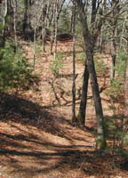
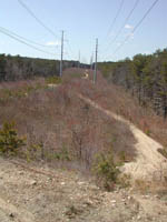
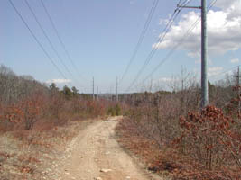
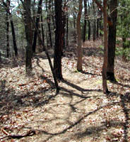
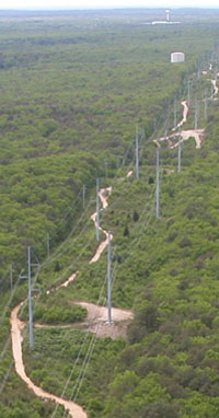
The dirt and sandy trails are shared by dog walkers and hunters. During the fall we reccomend bright clothing due to hunting season for safety. We went in the fall and met some really nice people while there, but were the only bikers. It is probably more common when not hunting season. The ground can be rough in places and hills are steep. There are wide access roads through the woods with single track offshoots and an option to ride the rougher trail along the power lines making this a diverse area to visit.
Getting There
From Rte 28
º Turn on to Rte 149
º Continue past the golf club at the intersection
º On the left will be Popple Bottom Road
º Turn left on to Popple bottom road and park immediately on the right.
From Rte 6
º Exit on to Rte 149
º There is parking near there (abundant), or continue to Popple Bottom Road (limited).
º Turn right on to Popple bottom road and park immediately on the right.
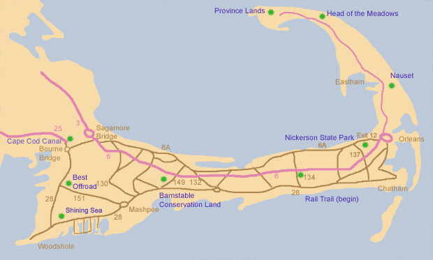
The following map shows a few paths we mention on this site. The green star located closest to the words "Barnstable Conservation Land" on the the map below is where the mountina biking is located.
Additional Things to Do
There is a small airport nearby where you can take air tours. They have two companies working out of the same airport. One brings you up in a Cessna and the other brings you up in a glider. We have done the small plane ride a few times now and recommend it. (That is how we took the photo above).
