The Trip
We figured we would try a few new places where we read about some drop ins that might be public access. We used our trusty Paddling Cape Cod: A Costal Explorer's Guide by Shirley and Fred Bull and once again were able to start out a trip somewhat relative to the book and then not be able to follow the very easy instructions that the book laid out because we did not read them. This is an excellent book that we recommend that you both purchase and read.
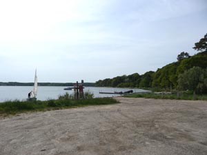
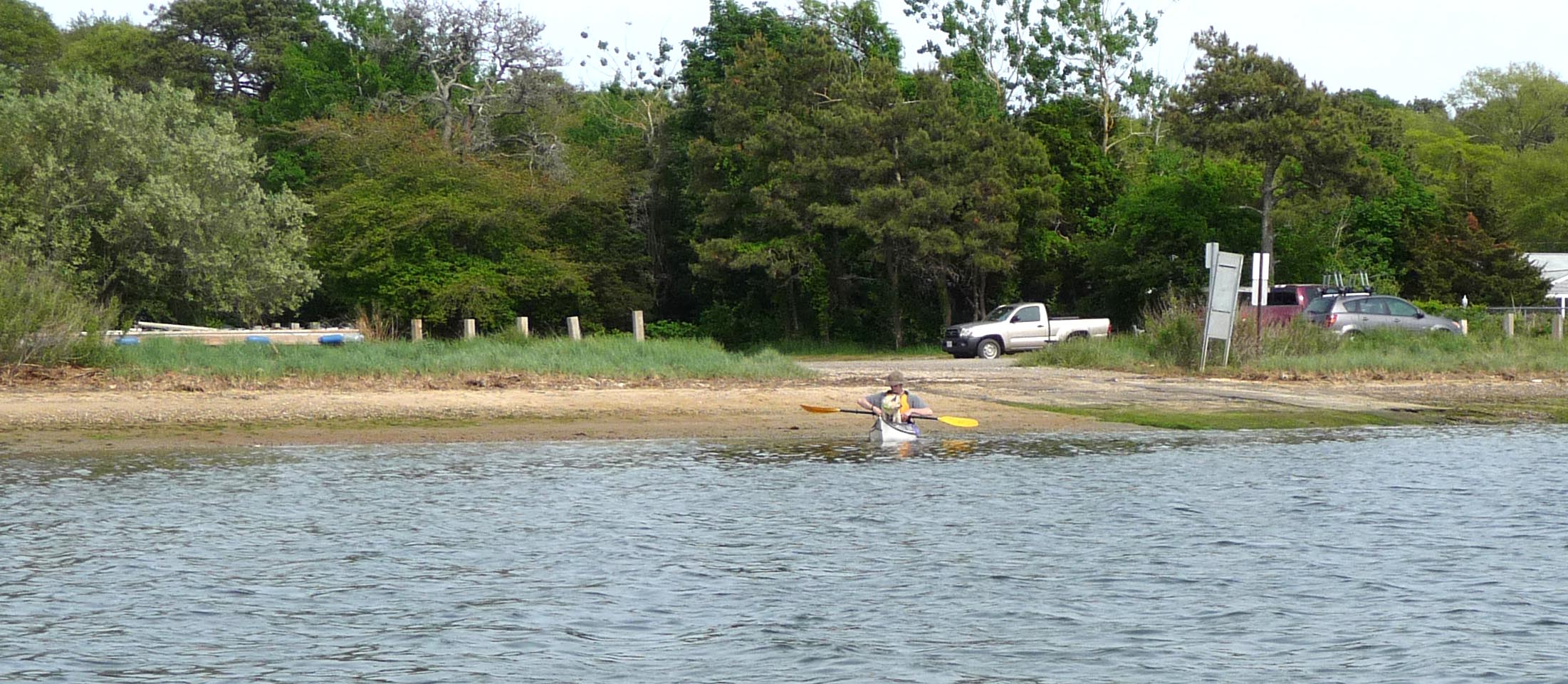
We drove around what appeared to be a long lost Nordic Village (try it and see what we mean) until we found what is a public landing fit for canoes, kayaks, and sailboats built for one person that you can unload by yourself. There is no bathroom nor are there private woods if you think that suffices for a bathroom. Plan ahead is our advice.

Our next plan was to cross Follins Pond, head up (or down) Weir Creek and into Mill Pond. We decided this by looking at the map in the book and not by reading any of the text in the book. it is an excellent map and the mile marker is right next to the pond itself so I was really sure of myself.

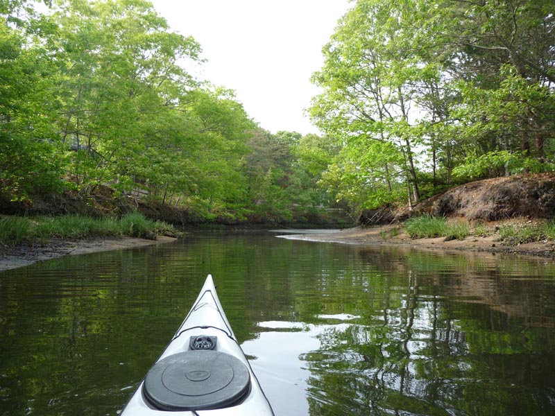
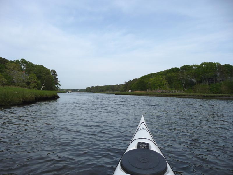
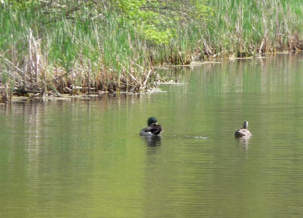
We started to head across Follins Pond and started to wonder if across was to the left or in front of us. Neither really looked like a creek. We watched for other boats and they seemed to go both ways. We chose well and wandered into this pretty little creek and took a side trip that went in about 20 feet to a turn around, but was very picturesque before we got back on course. our back on course lasted about five more minutes before we chose left over right. we ended up in shallow mucky stuff that smelled pretty bad and hit the end where we had to run around and try again.
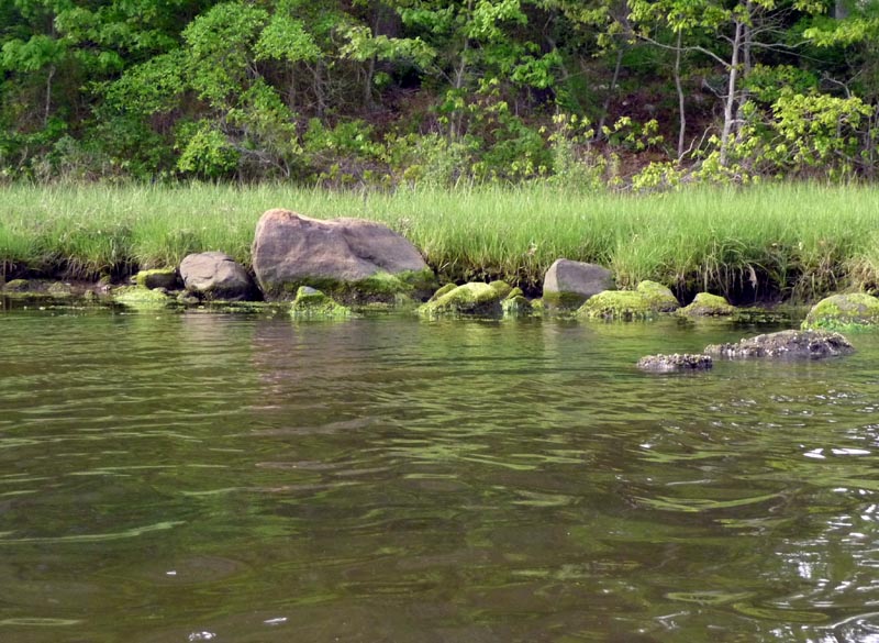
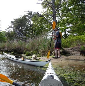
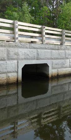
We tried the only other way and found water rushing against us coming out of an underpass to the road that I could not paddle against. not that it seemed like a good idea to try to go through this tiny tunnel under the road, but once I set my mind to do so it was hard to do anything else. But after getting washed back several times into the rocks we decided to beach on the other side and walk up to the road and reassess.
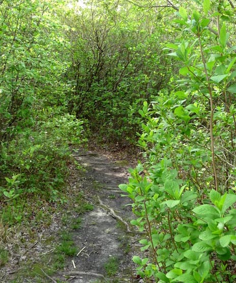
We followed a foot path along the creek for a while which was nice and decided to return to our boats and rather than carry them across the street, we would paddle back and call it a day. we had also seen on the map a place called Indian Lands Conservation Trail and we wanted to try to find that. The paddle back was very easy since the water pushed us back most of the way. We were only out for maybe two or three hours at most, but it was a nice short excursion.

