The Trip
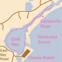

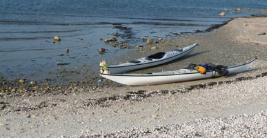
This was a real short little paddle for us. Finding the place was the hardest part. We went the night before to try to find the beach and to see if we could park here without a resident sticker since it as off season. It took a few wrong turns, but we finally found the place. We decided after our return we would google map it and then decide if we would try it again later. We ended up doing the Bass River instead, but later returned to try this place. Again, we struggled to find it, but once we were in our kayaks, things got better.
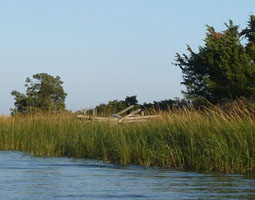
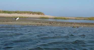
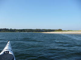
We paddled for about 2 minutes and landed on what looked to be an island but is really the long strip of land that is between Nantucket Sound and the Centerville River. For this trip, you want to be with this strip of land between you and the Sound. We spent a little time on the end of this strip taking pictures and playing with our dog, as this was a place a lot of people walk their dogs and go running with their dogs. We then continued on, or we would really only accomplish about 100 yards on this trip.
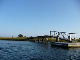
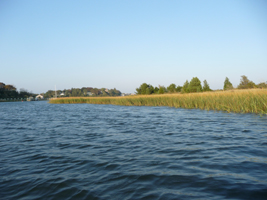
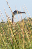
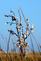
We went up the Centerville River slowly and saw a heron peering out of the grasses at us. We tried to stop to watch, but the current took us too swiftly, so we continued on until we reached the part of the river where the Bumps River comes in on the left and the Centerville River continues right/straight. This was the reccommended 4 hour paddle in Paddling Cape Cod by Shirley and Fred Bull, but we started about 2 hours before sundown, opting for just a taste of the area, so we turned around here and made our own mini area tour of the bay and returned to the rocky shore of the back side of Dowes Beach.

Getting There
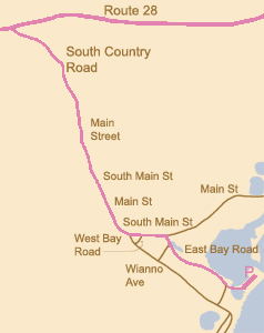
We find this confusing, so we included a google map widget you can click on to bring you to google maps and get your own directions if you are good at that.
If you use GPS, perhaps +41° 37' 18.54", -70° 22' 3.62" is helpful to you.
Once we leave Route 28, the road name changes from South Country Road to Main Street to South Main Street to Main Street to South Main Street, and it just goes on. My iPhone loses reception somewhere around West Bay Road which is significant since I was using the maps and GPS feature on the phone to get us to the parking area. We think you can get to the beach by following signs to Wianno Avenue as well. We do not promise this. We think this because each time we missed the Dowes Beach sign, we turned around on Wianno Avenue to get back to Dowes Beach which is where you can park after September without a town parking sticker as far as we understand at the time of writing this. May the force be with you.
View Larger Map
Parking Area is shown on bottom right of East Bay. Drop your kayak in on the Bay side close to the far end of the parking lot.
