The Trail
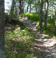
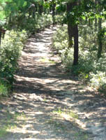
We do not know what to call this area. We have ridden here several times since 2004, and each time we get lost and have a hard time finding out way back. This most recent time, we ended up on Otis Air Force base after going up the most unpleasant sandy, leafy, rocky endless slope before we came to a paved road where we were asked to present our Pass. It was then explained to us that practice firing would be deployed on the base and we should get back on the trail.


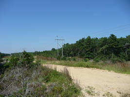
This trail is very popular in the morning, but not very busy in the late afternoon on most days. Parking is very limited. The trails branch and wind and reconnect and hit the power lines and dive back into the woods only to return to the power lines. We think we have a plan for "lost" next time. We think we can follow the power lines to the road (Route 28) and follow the trail to the left back to the parking lot from that point. We are still not sure about this, but our last few plans of Always Turn Right a few years back and Always Turn Left this last time have failed miserably. We encountered another biker (the only one we saw all day) and he pointed us in the direction he thought was the way back. Luckily he was right! Kind of. We ended up down the road from the parking lot. Good enough!
Getting There
From the Bourne Bridge- From the Bourne Bridge, stay on Route 28
- Continue on Route 28 through a Rotary
- Exit on to 151 (Old Silver Beach)
- At the end of the off ramp, turn right.
- pass under the bridge and past the on ramp and the dirt parking area is immediately on the left.
- take 28 towards the Mashpee Rotary.
- Take 151 from the rotary
- Take 151 to just before the on ramp to 28 and turn right into the dirt parking lot right before the on ramp.
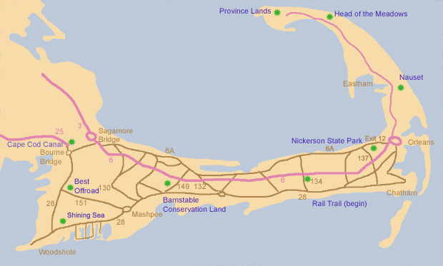
The following map shows a few bike paths we mention on this site. The location marked "Best Offroad" on the left of the map is this location.

Additional Things to Do
At the other end of Route 151 is the Mashpee Commons which is a huge collection of shops and a cinema. We like having lunch or dinner at Bobby Burne's at the Mashpee commons or at Cooke's off the Sandwich exit off of the same rotary as the Mashpee Commons next to the 99.
