The Trail


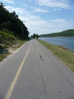
Riding on this path does not really require a map. It is right along the canal that runs "from one end to the other" or in other words, you go from under the Bourne Bridge to under the Sagamore Bridge or vice versa. You can do this on either side of the canal as well. We have successfully found parking on either side, parked, and made it on to the path.
The path is very popular with families, strollers, groups walking for causes, fishermen (and fisherwomen -maybe it is fisherfolk?), skateboarders, dogs, people, and often, oh so often, bikes. There are picnic shelters at the end on either side and also places to stop and visit along the way. We stopped at a museum in Bourne and leaned about Wampum and trading before we continued on our way.


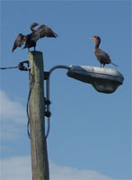
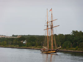
One of the fun parts of this path is watching the boats go by. They are only allowed to go about 10 miles an hour, so if you are on your bike, you may finish around the time a boat makes it the full length of the canal itself. We started in the morning on the Bourne side and were fortunate to be in the shade for most of the path, but we still used a lot of our water. We did stop a lot to look at boats and birds and to see what someone caught or to say hello to a dog. I can't say it was a really aerobic morning, but we did have a nice time.
Getting There
There are many many places to park for the trail. We suggest two from our experience.
From the Bourne side:- On the Bourne Rotary at the Bourne Bridge exit right after the State Police Barracks - This is Trowbridge Road
- Take first right (comes quick) - this is Freeman Street
- Very quickly you will come to an intersection where you turn right on to Sandwich Road
- Look left! You will see the parking area (look up - the bridge is above you!)
- Note that if the immediate parking area by the path is full, you can park between there and the road on the gravel area. Not many people notice this.
- From Route 28 (Main Street) the parking area is the obvious park area next to the Maritime Academy.
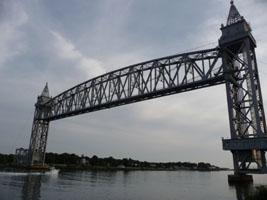
- Use the Railroad Bridge (photo above) as a marker as you park at the base of that.
- No, I have never seen that bridge lowered so a train can go over it.
