One of the Best
It is very hard to come up with many trails that we loved more than this one. Perhaps the Kalalau Trail in Hawai'i, but we could not think of another. Perhaps it is the big sky, the midnight sun that allows one to take once's time, the change in landscape, or perhaps its just the slight solitude.
Like most trails that we hike, we never make it past the sight of the parking lot before we are checking our map. This gave me the opportunity to take yet another photo of Bill reading a map on vacation as well as the chance to not understand the map and do something wrong. We had initially chosen the less steep trail that meandered a bit more since we had the time, but even after checking and rechecking the map, we ended up on the steep trail. I am glad we did, as the views along the edge overlooking the glacier was amazing.
The Way Up
There are two ways (or more) to reach the summit. But basically, you can go up on the eastern side of the loop and come back down on the western side, or you can try the opposite. We went 'right', or the eastern side along the glacier near the visitor's center for the ascent. When we reached the junction of the loop and spur trail for the summit, we saw people who chose the opposite way. They had this dreadful sloped, gravely, long trudge that I could not bear. No one looked very happy on that part.
The trail starts on the 'lower map' (note the park map has the lower trails in detail, and the long trails on a separate map). We followed the criss-crossed trails to the edge where we could overlook the glacier. There was a nice stopping point to rest and gaze. A photograph can't really capture the grandness of it, but the photos I did take were still beautiful and help to bring me back in memory.
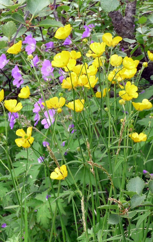
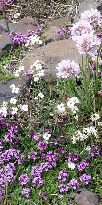
From that point, the trail was wide open with rocks and alpine flowers surrounding us. The trail headed to a beautiful outlook that people use for lunch and mind that the rock is used for privacyas the last rest room was quite some time back. We lucked out that we arrived here at lunch time and were able to relax and enjoy the beauty around us.

After lunch, the clouds came in and threatened rain. It was possible Mother Nature would decide for us not to hike the summit spur trail. We tried to put a little energy into our hike to at least get to the sputr trail while it was still dry. This part of the trail was a little steep and exposed, but the views to the right and behind us were spectacular. At one point we could look down into a deep ravine where the rocks are reddish and coated in a dark green moss. From this point forward, it was pretty obvious were we were headed as the summit is very clear and you can see the line of hikers headed up and down.
Spur Trail to the Summit
Until the spur trail, we had only encountered two other sets of hikers, one of which was only hiking up to the first view. At the base of the spur trail, there is a large open flat area where hikers hang out to rest, snack, or sometimes wait for their partner to head to the summit without them. I considered the third alternative when I saw the narrow and steep trail. I am going to say it was not for a new hiker or for someone with slippery footwear. Of course one did have to hike for a few hours to get to this point, so hopefully that helps one make their decision early in the day.
The narrow and windy trail was difficult to manage with hikers coming in the opposite direction. Sometimes there was not a place to step to the side safely and it took a lot of team work to get around groups of hikers. Once at the top, there is a narrow path along the arete that offers a beautiful view all around and a steep drop on the far side. It was a little chilly, but we stopped to have a snack before we head back down and negotiated the path with hikers on their way up.
The Hike Down
It was starting to sprinkle on our descent, which I suspect is a normal occurrence considering how green everything was. We stopped a few times to watch birds and look at flowers, but because we had taken longer than normal and we still wished to have a supper that night, we did not travel slow. Of course as a result I had one of those slow motion accidents on the trail where you fall like a turtle onto your backpack. But it is always nice to bring home permanent scars to remind us of our journeys I suppose.
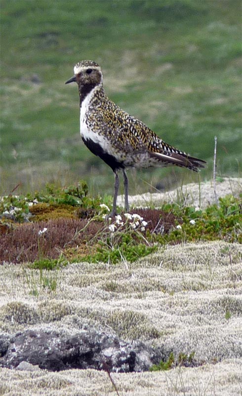
I did find the decent to be really lovely, actually. The green meadows cut by deep paths led to more meadows. There was an interesting bird that has an "S" shaped white mark along his body. They are a little camouflaged, and when a French couple came up to us on the trail to see what we were looking at, they were eventually able to see him when he moved. None of us had seen a bird like that before, and I am still unsure to this day what it was, but between the French couple and ourselves, we have photos of him from every angle.
Although the hike took us longer than the estimated 7 hours, the sun never sets in July and the only time limit is being hungry for supper. The trail offered a diversity of landscapes, flora, and fauna. Some sections of trail were windy open paths while other parts were exposed and a little on the exciting side. The panoramic view was beyond describable for me. It just kept being so beautiful. For serious day hikers visiting Iceland, this is a real treasure. We hope if you ever get the chance to hike it, you will love it as much as we did.
Getting There
All you have to do is follow Route 1 to Skaftafell National Park. The ranger station has the maps and the information for all of the hikes in the park. We recommend that you buy the map at the range station. It was only a few Euros, and very much worth it as there are also a lot of short hikes in the park that are very beautiful.


