Trails in this Area
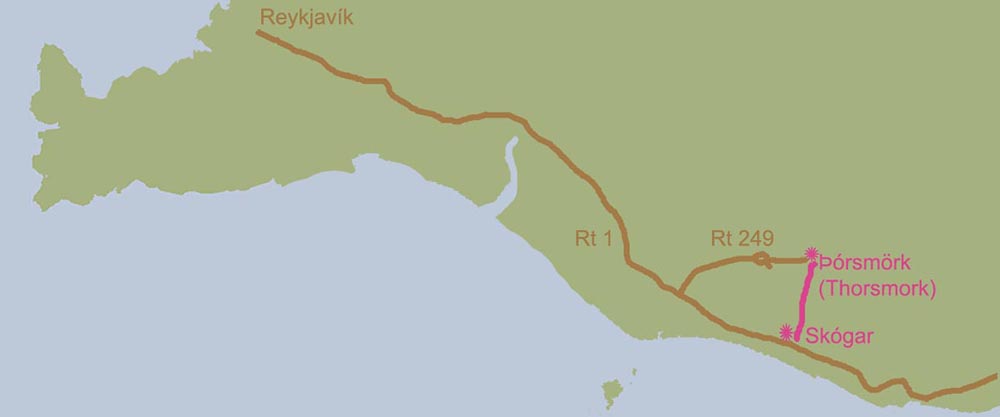
I have been challenged with figuring out where to hike and where to start based on my google searches over the past few years. I am not sure why it has been so difficult; perhaps because I am not sure what names and places to search for. I knew that when we went to Skógafoss a few years back it looked like a trail went up the side of the waterfall and beyond. I also knew I wanted to hike something called Laugavegurinn, but I could not figure out where it really was or how to get there. I'm still not perfectly clear, but I finally figured out after returning from two trips to Iceland and more intensive google searches, that the Landmannalaugar to Thórsmörk route is called Laugavegurinn. I also now understand that the hike starting at Skógafoss goes to Thórsmörk where you can then continue on to Landmannalaugar via Laugavegurinn. Landmannalaugar and Thórsmörk are both nature reserves. I think perhaps I cannot handle a work more than ten letters long and an Icelandic-challenged. A few of those "L" words look a lot alike.

Trails connecting from South to North, starting at Skógar:
- Skógafoss > Thórsmörk via Fimmvörðuháls (about 24 km / 15 miles)
- Thórsmörk > Landmannalaugar via Laugavegurinn (about 53 km / 33 miles)
A Second Try
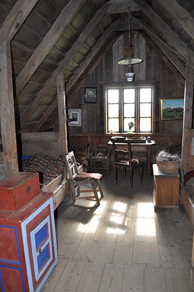
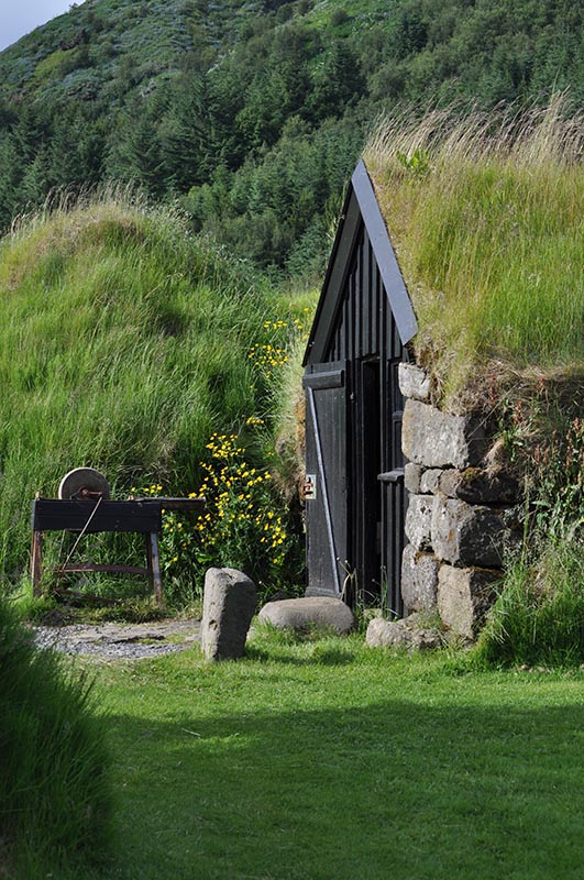
When we first visited Skógar in 2012, the wind was so strong that our faces were sand blasted by the rocks in the parking lot. We did not make it across the parking lot to the falls. A tour bus was parked there and only a few people jumped out, took a quick photo, and then got back on the bus. We sought shelter that day in the beautiful museums at Skógar. This time we were more fortunate with the weather and still spent some time revisiting the Skógar Church at the museum and grabbed a big bowl of soup at the cafeteria before we started up the path. Well, to be honest, I also picked up a hand knit sweater in the gift shop that one of the women who works in the cafeteria knitted. There are some nice hand made items a the shop as well as other Icelandic gifts. I was quite taken by the little Yule Lads hand crafted dolls. They are a set of "Santa Clauses" in Iceland that cause a bit of trouble by slamming doors and stealing the skyr (yogurt). I ended up taking home a few of those as well. Once out of money, all we could do was hike!
Skógar to the Magma (Not Quite) and Back
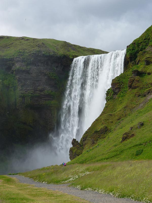
We drove the half mile from the museums to the parking lot for Skógafoss. The place was packed with campers and there was a lot of activity going on, a strong contrast to our visit in September a few years prior. The campground had restrooms and running water and seemed decent, albeit not a very private experience. It was very packed. In the summer, the sky never gets dark, so I wondered about how it would be to sleep in a tent rather than the hotel with the black shades.
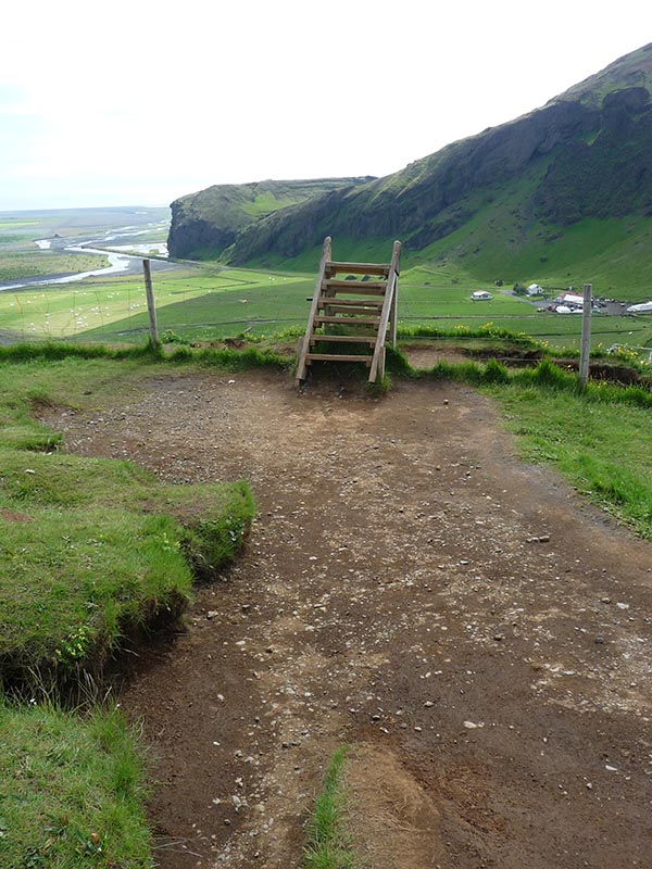
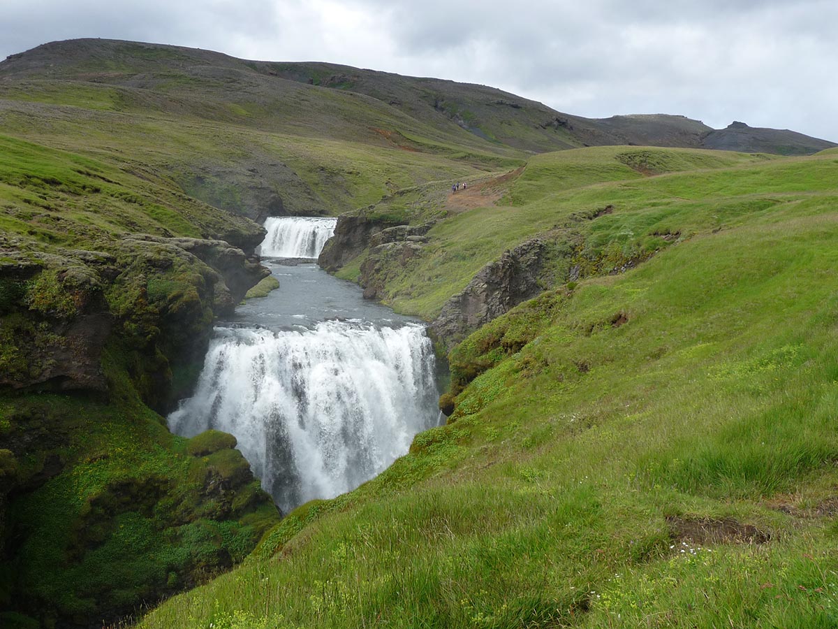
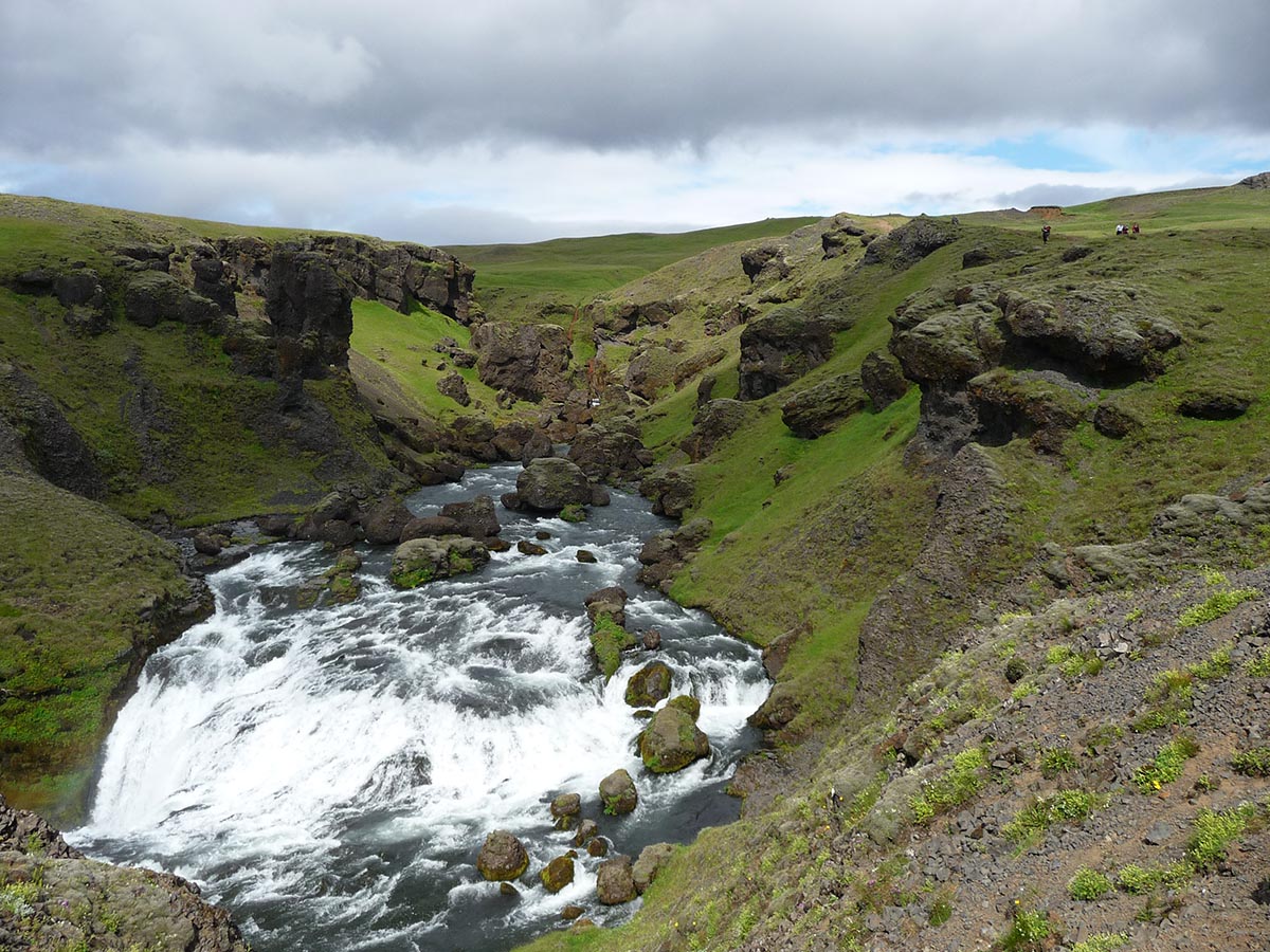
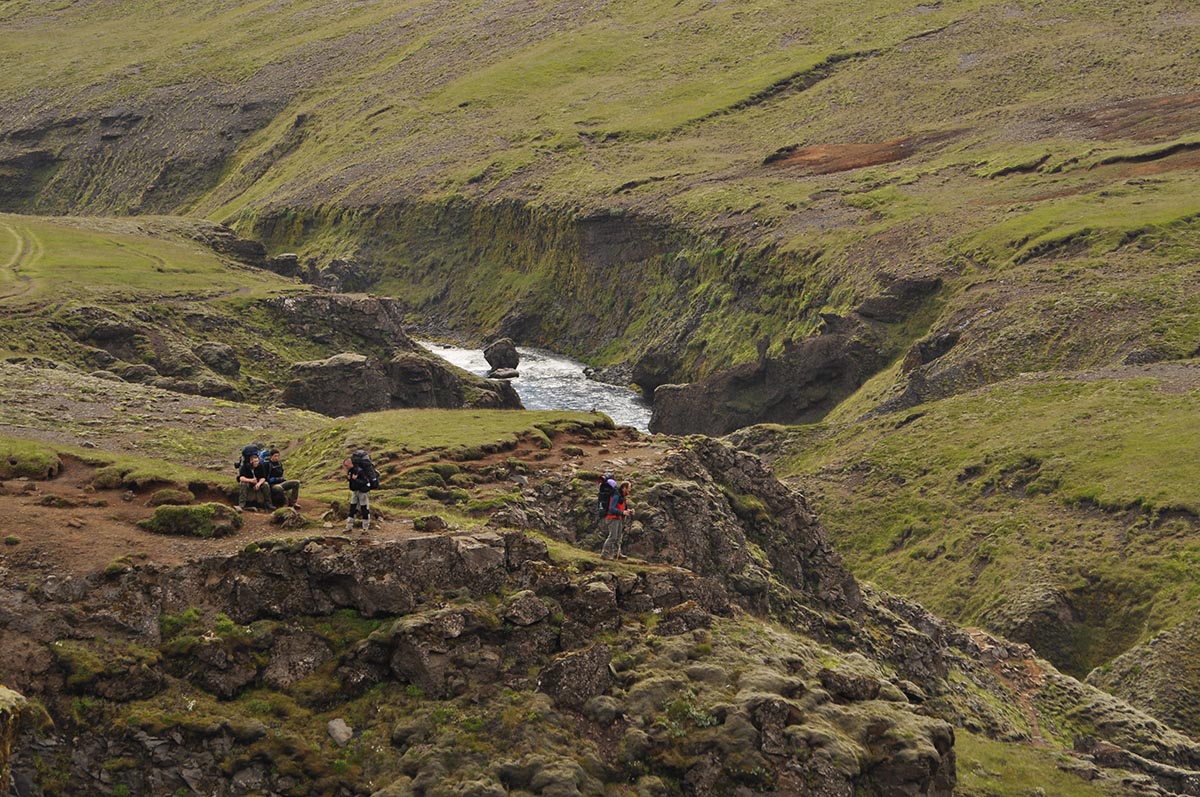
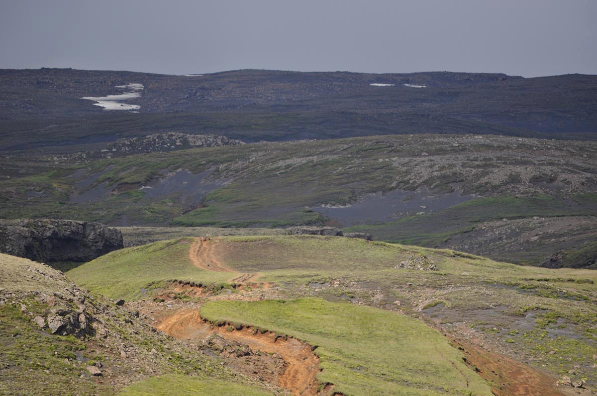
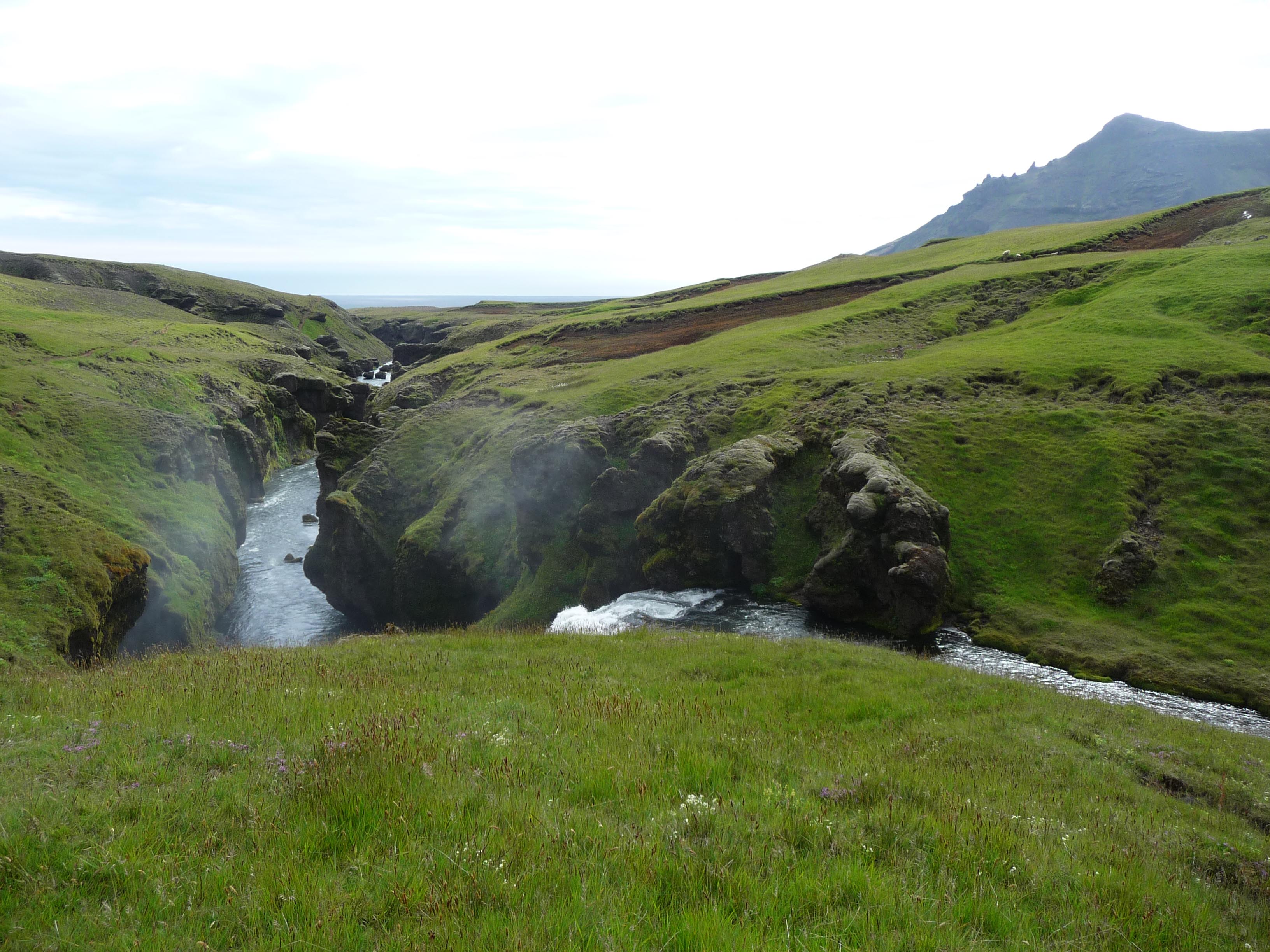
The first few steps of the hike are the hardest as far as we could tell. There is a set of stairs along the side of the waterfall and I made pretty slow progress. The progress may have been hindered my many other people on the staircase as well, but there is only one way up, so easy does it. Once at the top, there is a ladder that helps you to step over the wire fence that keeps the sheep from falling off the cliff. You have to climb over this to get on the trail. The hard part is over. The rest of the hike that we did followed a mostly well marked path along the edge of the waterfalls. When I say well marked, I mean the dirt part as opposed to the grass part. It's pretty obvious.
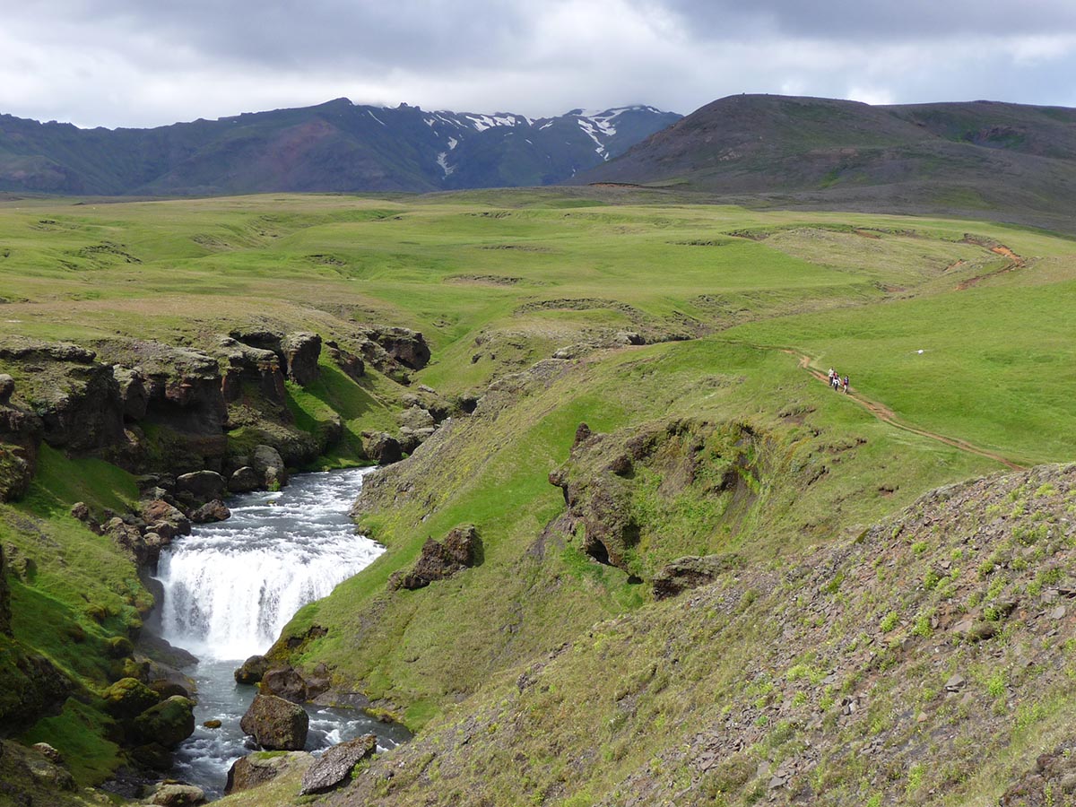
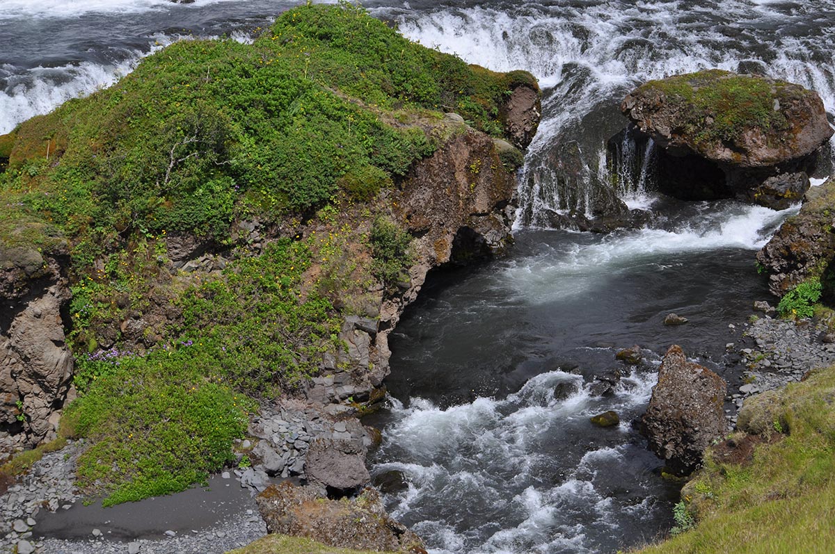
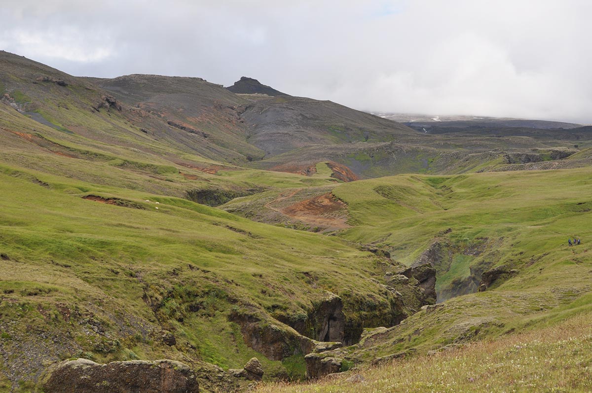
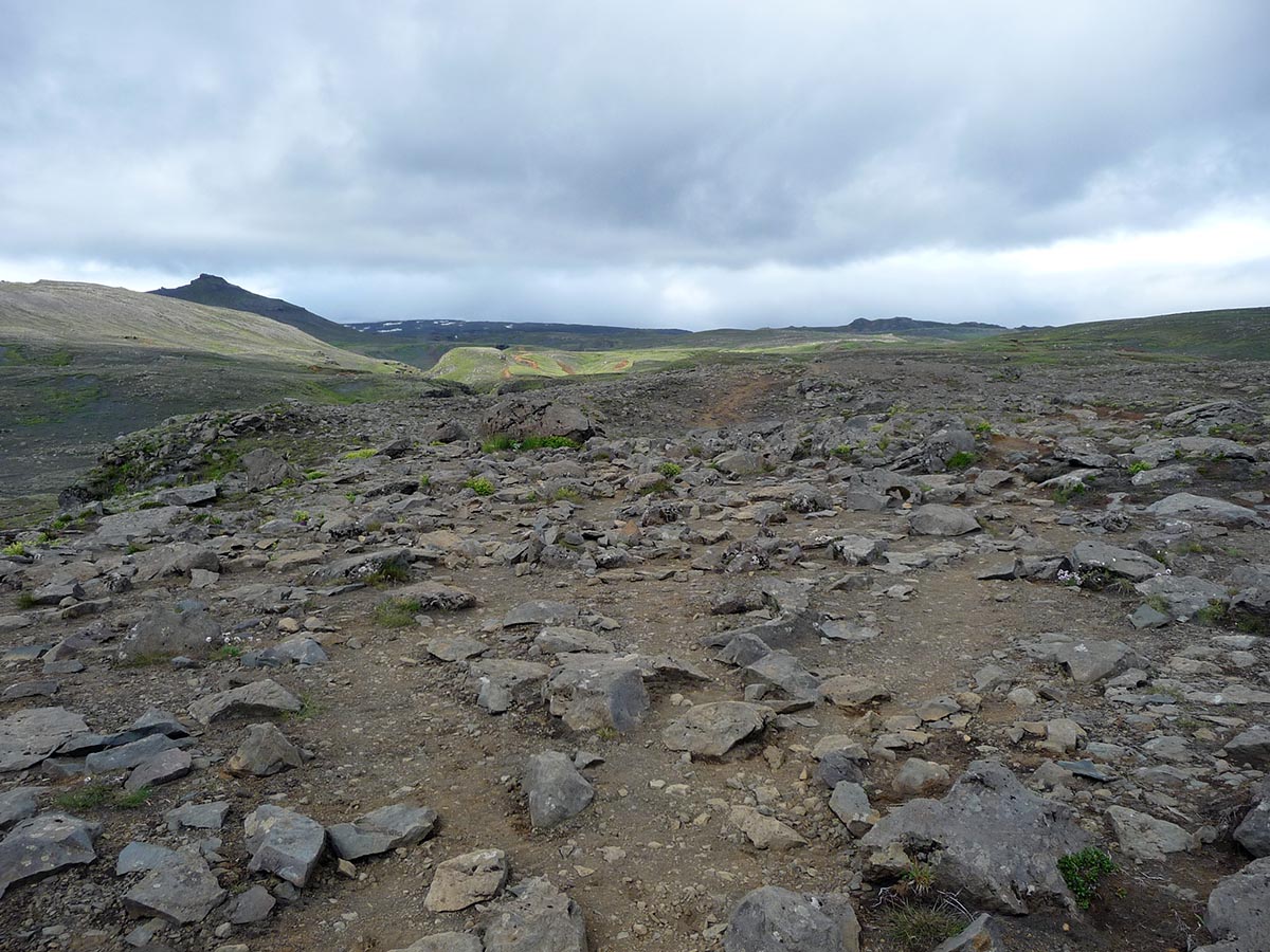
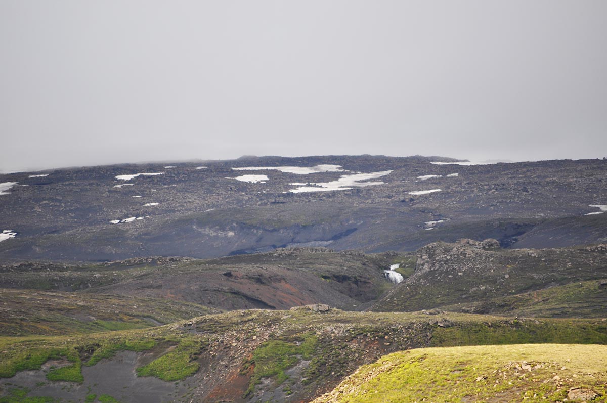
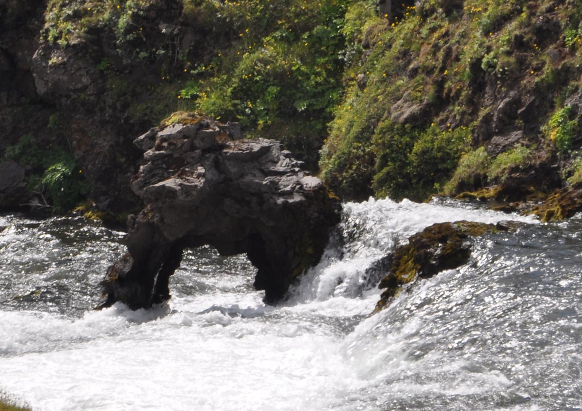
Our goal was to get to the part we saw on a map somewhere that was labeled 'magma'. I had this vision in my head of bright orange hot stuff. It was between two glaciers. It sounded pretty awesome. It did not take long to realize that 'magma' is also black and hard and has been since 2012 during the eruption. Despite that, the trail was very beautiful and I did not tire of seeing the cascading waterfall for hours. It did not disappoint. We gave ourselves an hour to hike in and then continued for a little longer, but the clouds kept getting darker and darker and we decided that this trail would not be fun in the rain and turned around to return.
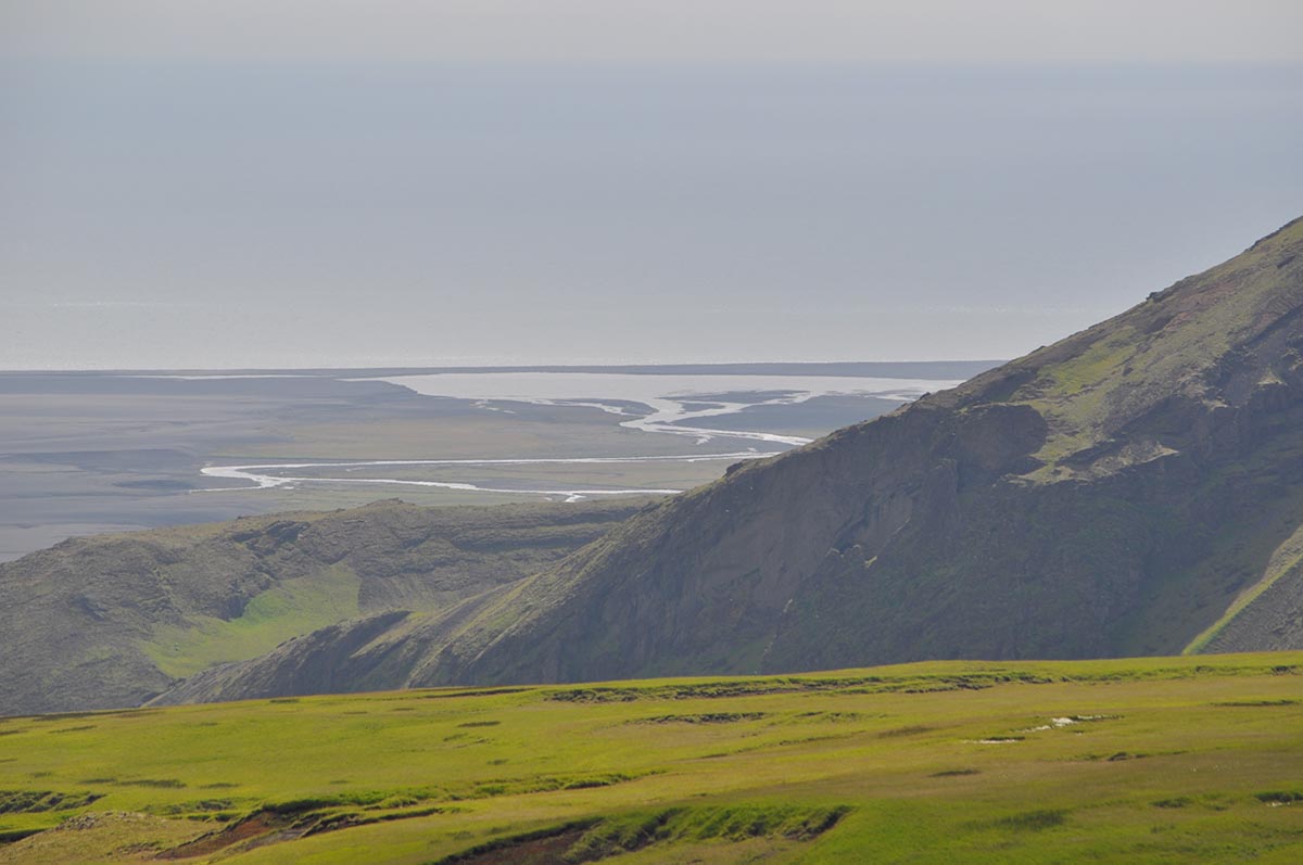
I normally do not prefer trails that are not loops, but the scenes coming back were just as interesting as the trip in. Coming back there is the view of the ocean in front and what looks like the end of the earth up close. The mountain range to the right was gorgeous and it was a lovely hike overall. I really want to hike the whole section to Langidalur Valley in Thórsmörk, but that will have to wait for another trip and some careful planning.
Getting There
It is not hard to find the beginning of this hike. There is one main road that travels along the south of Iceland - Route 1. There is a turn off at Skógar and from this tiny road, you can park at the falls and campground by heading left or visit the museum by heading right.
