Finding Gibbet Hill
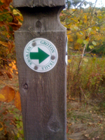
I saw a friend post some photos of a "castle" in Groton, MA and we did more of an effort to get there than to find out where "there" really is. Finding Groton was not a problem, it's on the map. Finding a trail head or where we were supposed to park was another story. On the way, I googled Groton castle and finally found a geocashing site that mentioned parking on the side of route 40. After driving up and down 40 three times, we found a shoulder of dirt that had two large stone square pillars. It had a sign that said My bull can cross this field in 3.2 seconds...CAN YOU. I walked along the trail counterclockwise like the geocache site said and found a trail marker. This had to be it. I went back an got Bill and Leila the dog.
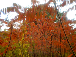
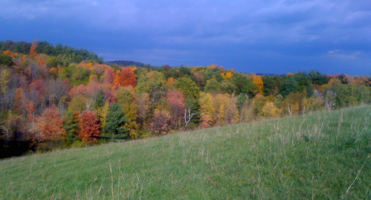
The first part of the day we did not see anyone at all, but on our way back, the castle area had a few hikers and I asked them where they parked. They said there are two places they know of, one was where we parked and the other was on the far side of the parking lot of Gibbet Hill and to proceed counter clockwise. We did see Gibbet Hill - we stoped there to ask for help, but it had a sign saying We open at 4 and it was hours earlier. It looked really beautiful against the rolling hills and foliage and I put it on my lists to try if we ever came back.
Groton Trail System
From either parking area described above, proceed counterclockwise along the fence separating you from the cows, paying heed to the signs alerting you to tick issues in the area. I got two on this hike, and I have now had four in an entire lifetime, so they were not kidding.
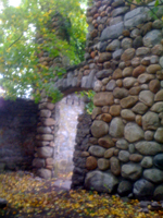
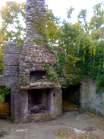


It was a very short walk to the tower, half of it uphill and through grass about ankle height. We arrived at the structure, also known as Bankroft Castle. It is the remains of a summer bungalow for William Bankroft, mayor of Cambridge in 1906, and soon the property passed hands and it was used as a sanitarium and a place for people suffering from TB. By the 1930s it was a location for the Groton Hunting Club to host parties until it was destroyed by fire. The remains live in solitude near the top of the hill where weekend walkers come up to see what is poetically a romantic scene.
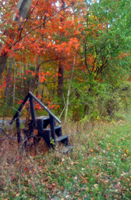
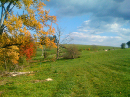
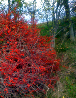
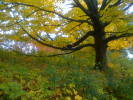
We initially thought the trail system only lead to an old tower, but discovered that the trail continued on so we decided to see where it led. We spent about two hours following the trail through woods, along country roads, and to a horse farm called Scarlet Hill where the trail makes a wide loop through the edge of the horse farm and dips into the woods again before turning left and returning to the beginning of the Scarlet Hill Trail. We then retraced our steps, getting a final glance at the tower, before heading to our car and finding two other cars parked behind us. This was certainly the right place to park.
On further research, we did find a site dedicated to the Groton Trails Network and found that there are a lot of places to walk in this town. People who live here are very fortunate to live in such a beautiful place. We recommend autumn as a time to visit due to the expansive views afire with the foliage and the cool temperatures.
