Our Route
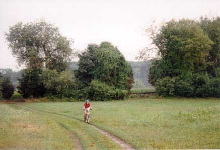
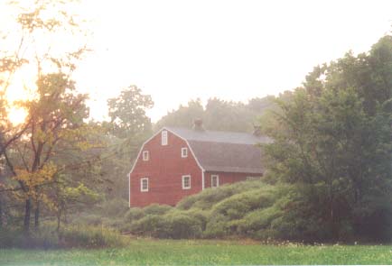
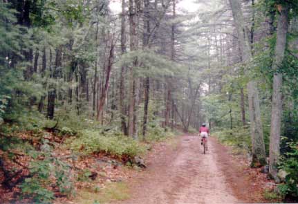
We love coming to great Brook Farm State Park for a short mountain bike ride. We spend a lot of time exploring the area, but we also have a preferred route for a short trip. Below the row of pictures is a description of our short route.
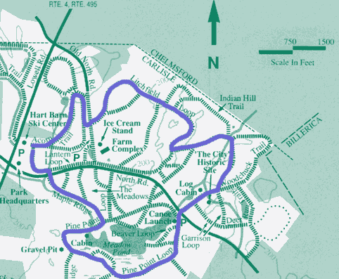
Here is a map of the route that we usually take. The entire trip takes between 30 to 45 minutes.
My Favorite Route Begins and Ends at the Hart barn Ski Center. We park in the lot for the ski center, and begin on the path to the left of the corn field (Acorn Trail). That path turns left into a field.
The trail skirts the woods on the left, and turns into the woods briefly to cross the road onto Litchfield Loop, which travels through fields and woods.
The trail crosses several bridges, and eventually comes to a cabin on the right. At that point to the left, you can search for the ruins of old homes in the woods.
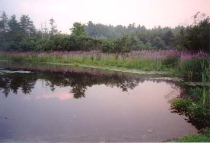
The Litchfield Loop Trail comes to a paved road, where you can cross over to the canoe launch. From there, take the Pine point Loop Trail. For a side trip, Beaver Loop trail spurs on the right. The trail takes you to a nice picnicking area by meadow Pond.
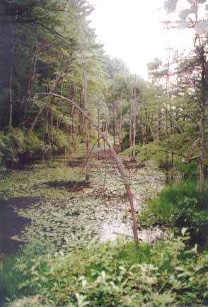
Pine Point loop trail brings you across a bridge into a field (see the Meadow pond picture). Often times we find people playing with their dogs in this area. Continue through this field until you see the gates in front of the road. Take a sharp left before the gate and continue into the woods. You can eventually turn right and cross the road back to the corn field near the parking lot. Turn left at the cornfield to circumnavigate back to your car.
We have included a link to the Park Map. We asked the rangers if it was OK to reproduce this map, and they said yes, so feel free to print and copy it!
Getting There
- Take 128 (also called I-95) to Route 4 towards Bedford
- At the split for rte 62 & rte 4 bear right on 4.
- Almost immediately after that, turn on to rte 225 W to Carlisle.
- Note: About a mile after that turn on the right is Kimball's Farm ice cream, the biggest and the best local ice cream!
- At the rotary, take the first right off of the rotary (if you do this correctly, you will see the police station on left right away)
- 1.8 miles after the rotary is a turnoff with an ice cream sign (you can turn down here and drive to the farm to park)
- .25 miles after the ice cream sign is where you park to cross country ski (on the right). We park in this field.

