Photo of the map of Avebury Stone Circle at the parking lot
Avebury Stone Circle was constructed in Neolithic times (between 2500 to 2000 B.C.) though some sources date it back to 3000 B.C.. Either way, it is old. At about a quarter of a mile in diameter, it is probably the largest known stone circle in the world.

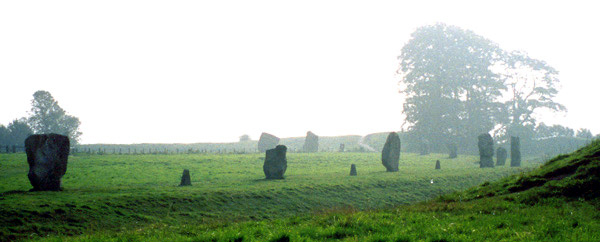
The southeast quadrant showing what remains of the southern inner circle

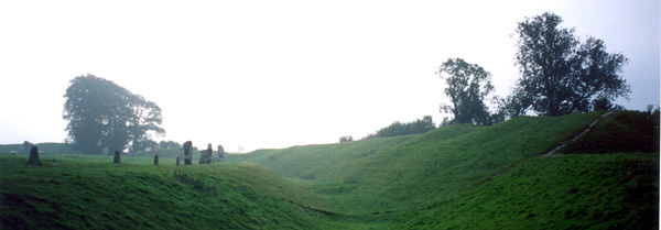
Ditch encircling the site
The stone circle is surrounded by a deep ditch currently about 6-8 feet deep, though it was originally 30 feet deep. Outside the ditch is a hill that encircles the site and is easy to walk along. The path is white chalk where the grass has worn thin.

West Kennet Avenue leading to Avebury
At one time West Kennet Avenue connected the southern henge entrance to Overton Hill and the remains of a small stone circle called The Sanctuary. West Kennet Avenue covers a mile and a half in distance. Today, the remains of this 15m wide path extends only about 800m from the southern henge entrance.
Beyond Overton Hill lays West Kennet Long Barrow and Silsbury Hill. Silsbury Hill is the largest prehistoric mound in Europe, and the barrow is a Neolithic burial chamber with standing stones in front at the entrance.
Hikers might be interested in the Ridgeway Path

