In the Steps of the Past
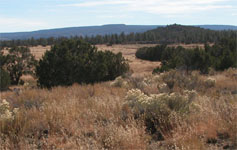
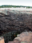

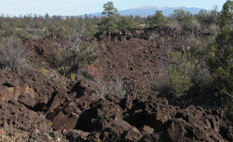
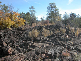
This hike is very deceiving. It is 7.5 miles one way, which does not seem terrible to seasoned hikers, but the trail is often very rough and uneven underfoot and spotting the black rock cairns against the black rock landscape can take moments to minutes. It was not a fast paced hike for us. It is not a trail with water sources along the way, and the sun is relentless. We made the rule that when the water was close to half way gone, minus the spare bottle, we would turn around. The spare bottle was the backup plan if we were to get lost and die before we were found. Fortunately, this did not happen.
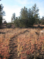
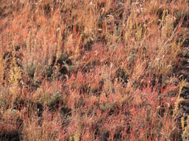
We saw no other hikers on this trail the entire day. We began soon after sunrise and the path was an obvious dirt trail that was easy going. The scenery was very pretty and everything went well. Once we entered the badlands (el malpais) we slowed down, and often took breaks for snacks, drinks, and mystified searches for the next cairns. We included a video of one of these searches below. In older times, this trail was often traveled in a quicker pace by Native Americans between villages, but today, the path leads between a trail head in the middle of nowhere and another trail head in the middle of nowhere. If you have to cars, you can drop off one car at one parking lot, and drive the other car to the other trail head and hike from car to car. The drive between the trail heads is significant, a little under 40 miles, as you have to return to the highway before you come back to the other side of the park. We hope some day to be able to do the entire trail end to end.
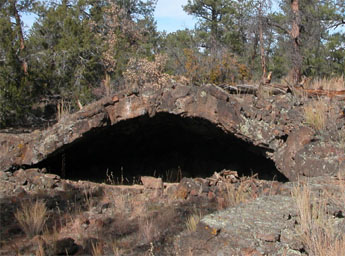
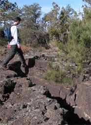
Click on the play button (bottom left of image above)
to see a 360 view of the terrain as we search for the
next trail marker.
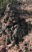
We should note that the most important thing to bring on this trail aside from water is your back country permit from the Park Rangers. We got this at the visitor's center and it was free. This, we joked, was in case we died out there, but probably is for other more important reasons. Also, the trail markers are sometimes posts and are marked as the "Escalante Trail" after a Spanish expedition that also set forth to navigate these difficult lands for a shorter passageway. Sometimes the markers are rock cairns. A hint to the trail: Try to see the next trail marker before you leave the one you last found. The video above shows how hard this actually was. Below there is a photo of the Escalante Trail marker and also an original cairn from the trail marked by the Native Americans who traveled here centuries ago. Not all of the cairns are this old, but the lichen on the side can be used to help indicate the age of the structure. Please take only photos and leave only footprints. This trail is a sacred part of the heritage to people who live here today, and an important part of the history of the land and its people.
