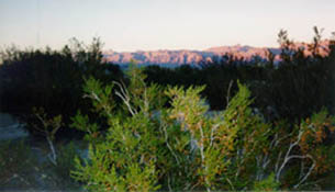
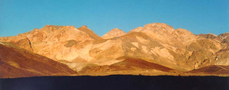
Lowest Point in the USA at Badwater
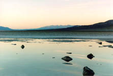
Death Valley is the home of the lowest land level in the western hemisphere at 282 feet below sea level. Located on Badwater Road, the point is marked by a sign high on a cliff denoting sea level.
Though you can walk around the area and take pictures, there are no interpretive trails at this area. There is a trail to the salt flats which was interesting. There are also miniature snails living here, which are descendants of the snails trapped in this pool of water 10,000 years ago.
Badwater Salt Flat
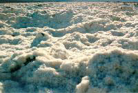
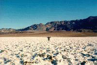
The trail to the salt flats is a simple path, and the destination can be seen from the start. The salt flats look like snow, both from a distance and up close. This is an interesting place, and you are free to walk anywhere on the salt flats.
Harmony Borax Works Interpretive Trail
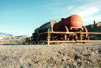
This historic site is approached from a 1/4 mile paved path from the Harmony Borax Works parking lot located one mile north of Furnace Creek on Highway 190. There are interpretive signs along the path describing features of this 1880's processing plant. The work of gathering the ore was done by Chinese workmen, and was then hauled 165 miles by twenty mule teams to the railroad between 1883 and 1889. The "20 mule team" on the boxes of Boraxo soap is the one in Death Valley
Other Places Along the Way
