General Information
This site is very different from the sites that many tour groups visit. It is not uncovered to the extent of Xunantunich or Caracol, for example. Actually, almost nothing is uncovered, except a few places where archaeologists are working. When work is complete, they cover the area back up again. The cost of excavation is high, but the cost to maintain uncovered sites is way beyond budgets. This place is fascinating for those with knowledge or familiarity with other sites and the ability to imagine this site based off of that experience. El Pilar was on both of our our top two sites on this trip.
To help the imagination, a model of the ruins exists at the Be Pukte Cultural Center of the Amigos de El Pilar, just before you cross the bridge in Bullet Tree Falls. Check their website for hours.
The drive is rugged, and bike rentals are few and far between in San Ignacio now. We drove to get there. It takes longer than one might imagine with a quick glimpse at a map, so allow time and drive carefully. The trails are rustic jungle, not paved paths, so good hiking shoes, plenty of sun screen and bug repellant, and drinking water are a must.
A political interest of the park is that it lies on both Beliezian and Guatemalan soil. Through a government agreement you may walk on all the paths of the park, though only the Belize site is uncovered, and the Guatemalan side is potentially risky. We hiked until we found a shotgun casing on the trail. As much as we did not resemble small game, we figured we would play it safe.
A map is available at the desk when you purchase your admission tickets. A web site with an interactive map reflects the tiny map we were handed.
The Main Site
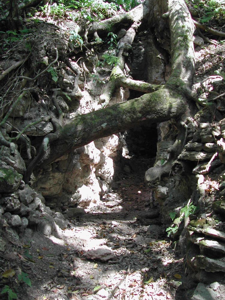
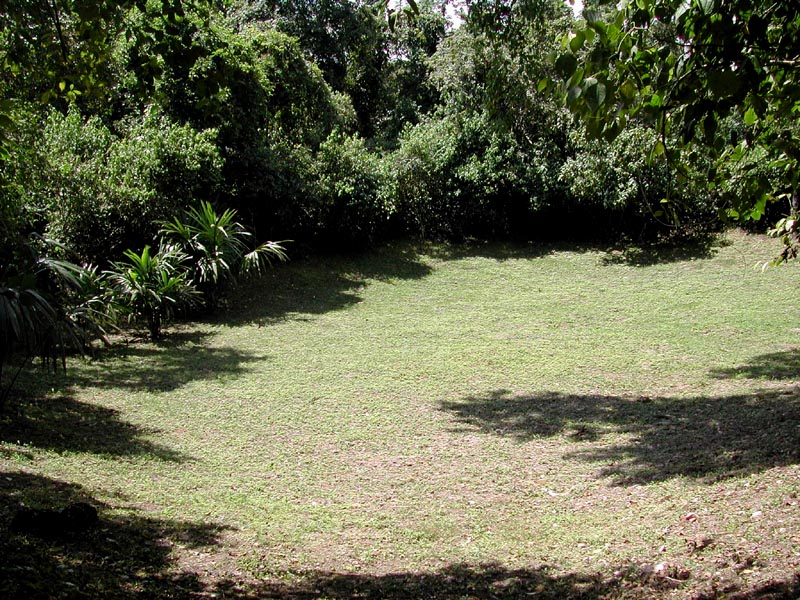
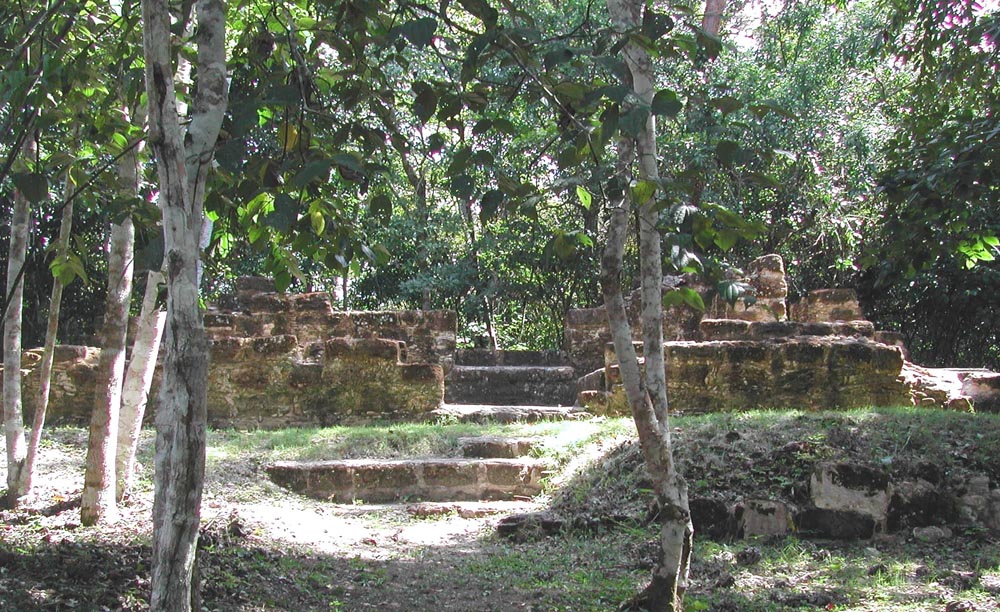
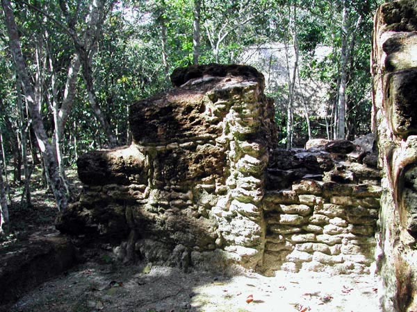
Even though there is not a lot uncovered, you can still see a lot about how the people lived here. For water, there is an Aguarda (marked with a sign) which we interpreted to be where the water was held. From other sites we learned that places where the limestone was dug up to build the structures later served as water storage, where the large holes would catch the rain. Over a thousand years or so, sediment will slide into such a quarry, but indents are still evident as seen in the first photo above.
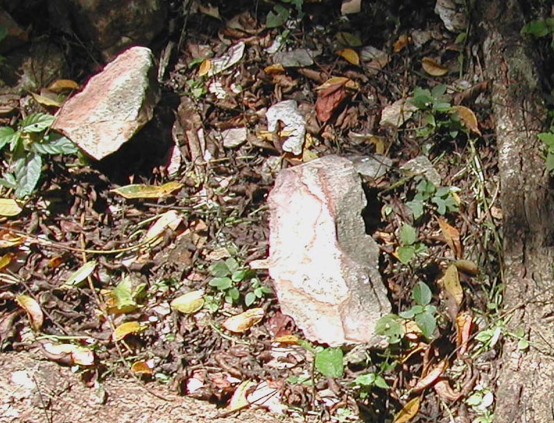
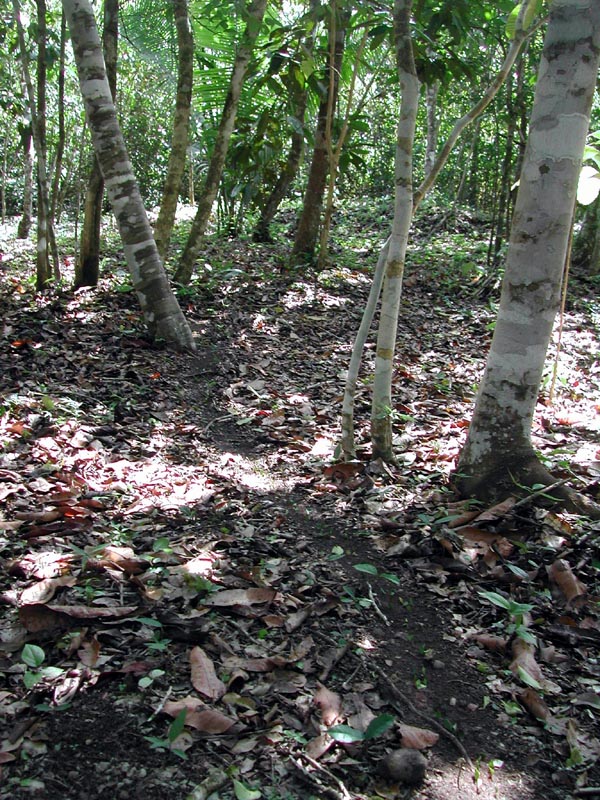
Sites were built of limestone as that was an easier stone to cut compared to the granite found in the pine ridge forest. Churt, which is a harder stone is found in limestone deposits, and can be used for tools. The second photo shows churt at the marked churt site at the park. This is on the trail that leads to Guatemala.
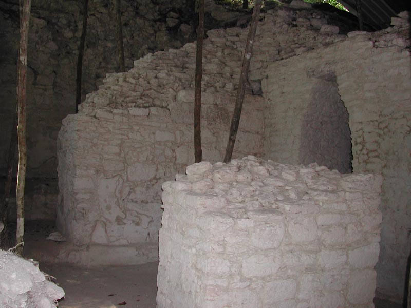
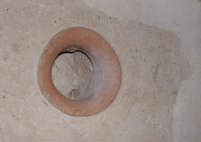
Just like the quarry was reused to catch water for the community, broken pots were not wasted. A local guide explained to us over dinner that a broken piece could be placed in a wall with another one facing it on the other wall, and a stick could be placed between and a curtain would be hung. The third photo shows the mouth of a pot in the wall.
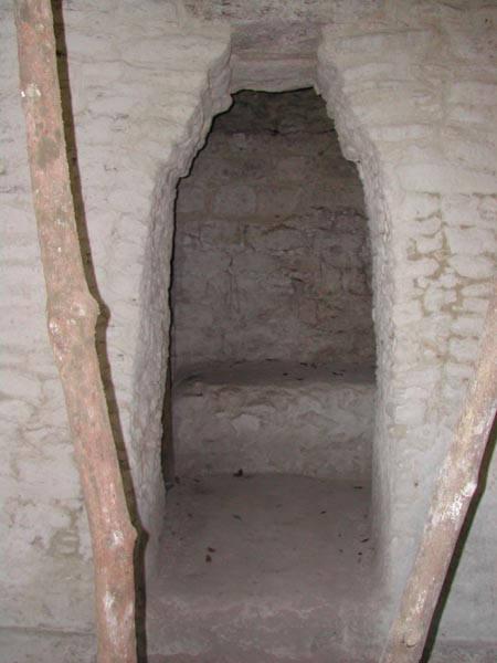
The fourth photo shows a false arch. The Mayans used lintels and false arches for windows and doors. They did not use keystones, which indicates that it is possible they did not have that technology. That is not to say they were mentally inferior, as their grasp of astronomy was phenomenal, if not superior. We use leap years ever four years to correct our calendar. Theirs was far more precise and did not need these frequent corrections.
The Residential Area
A section of the park (other side of the road from the major site) hosts a nature trail that has an area with signed trees and plants. It also has a few small structures, we think was used for residential purposes. We took this trail back to our car and were rewarded with this site, not just for the ruins, but for the plant identification as well.
We spent a couple hours here, though some might take only an hour and others more if they do the extended hikes, like the one to Guatemala. We saw no one while we were in the park, and we were the only ones in the parking lot as well.
Getting There
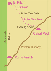
The long slow road...
- Take the Bullet Tree Road north of San Ignacio to Bullet tree Falls
- Cross a small bridge that allows one way traffic at a time
- The road curves right and then there will be a sign to turn left on to a dirt road.
- Continue up this rugged limestone (road with a spare tire) forever
- There will eventually be a visitor's center on the left. Get tickets and use the bathroom here.
- Continue into the park to a wooded parking lot (woods on the side of the road with a Parking sign)
- The road continues to Gallon Jug and is unimaginable if you come across a car going the other way.


